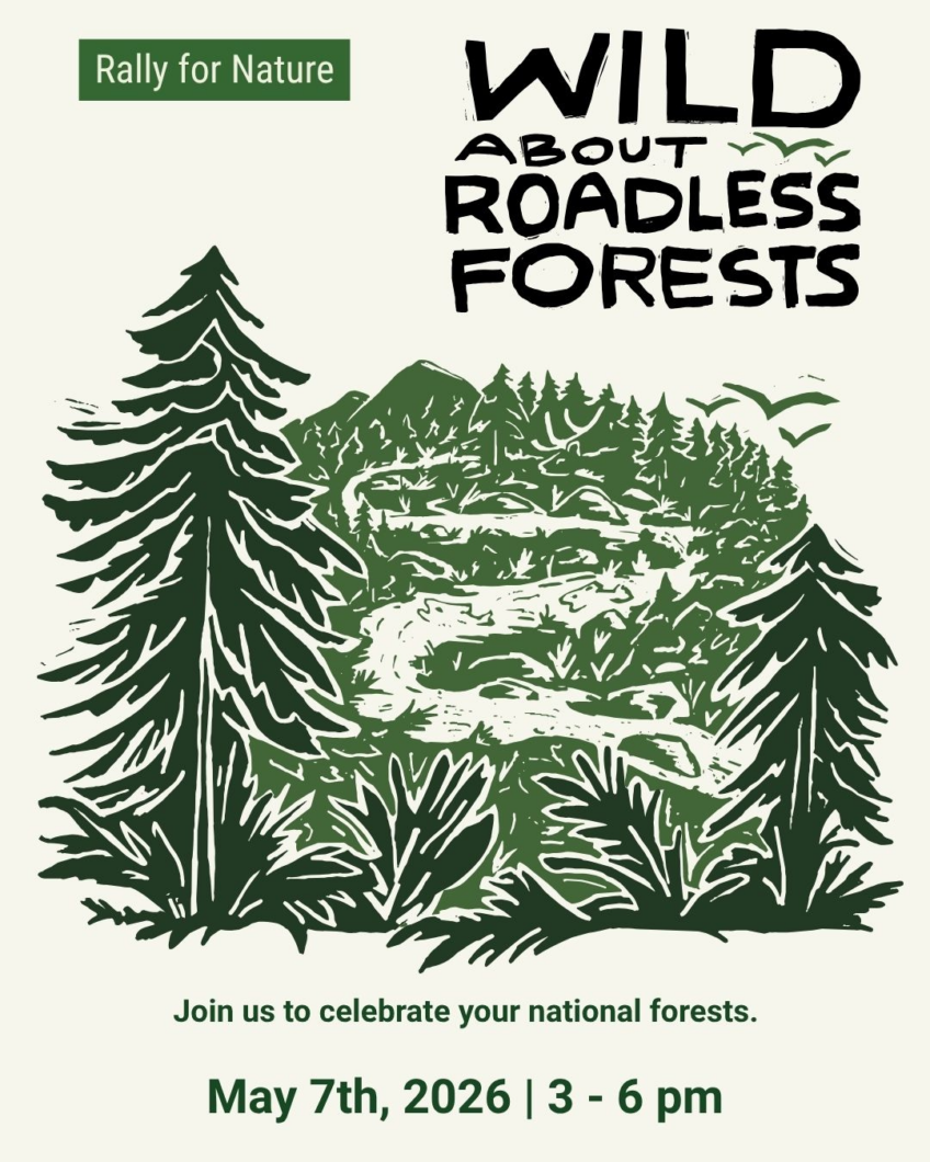
Roadless Rule Event – May 7th
on April 23, 2026
with No Comments
So glad to partner on this important event!
So glad to partner on this important event!
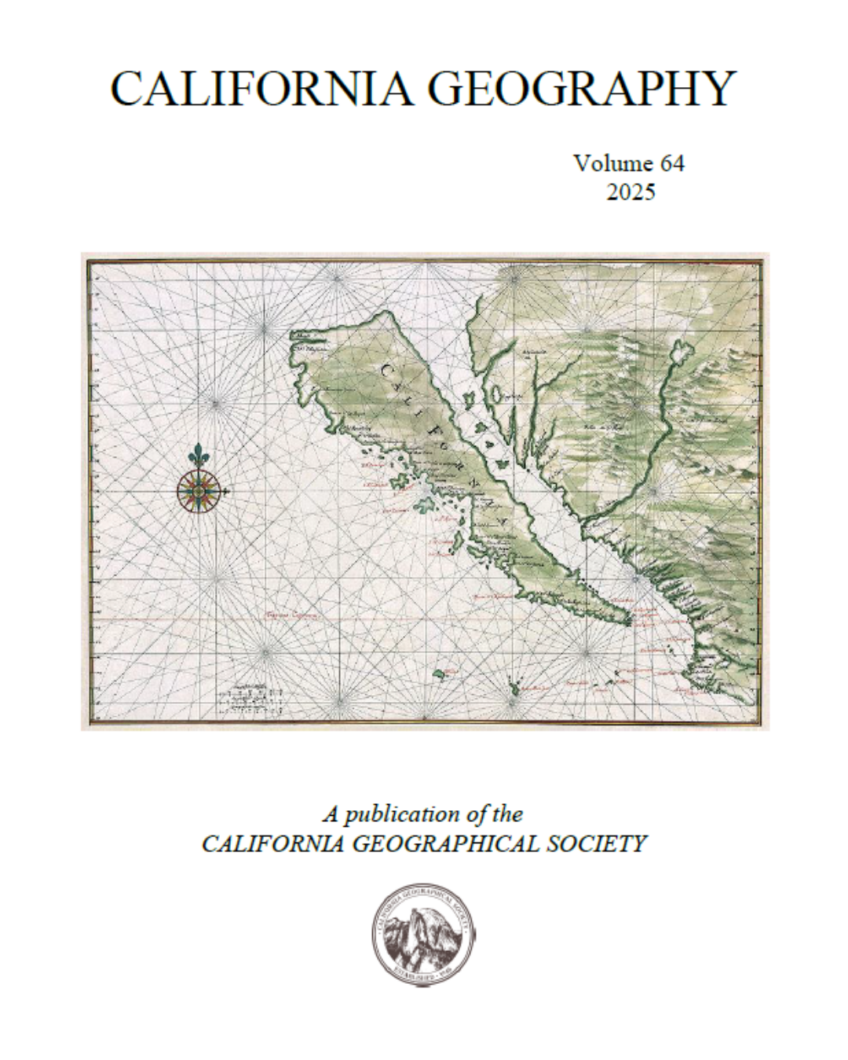
Hills For Everyone was asked to write an article on the story behind the preservation effort in the Puente-Chino Hills Wildlife Corridor for the California Geographic Society (CGS) by Cal State Fullerton professor and CGS Editor Dr. Robert Voeks. As the oldest geographic society in the nation, founded in 1946, it promotes the interaction between academic and applied geographers, as well as members of the general public who share an interest in geography. In our article, we focused on the … Read More
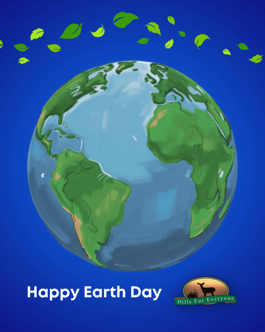
Hills For Everyone is proud to be part of the environmental movement. We care about the planet deeply and demonstrate this commitment by protecting and preserving land, wildlife, and important habitats. Thank you for being part of this journey with us. What’s one thing you’ll commit to do this Earth Day to help our planet?
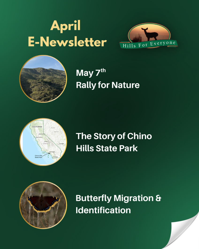
It’s Earth Month, check out our April E-Newsletter, which includes information on:🌳 The May 7th Rally for Nature🖊️ The Story of Chino Hills State Park🦋 Butterfly Migration and Identification View the E-Newsletter.
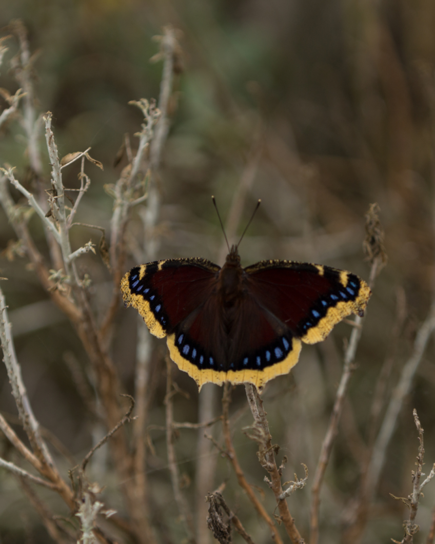
Now is the perfect time to capture glimpses of some of the native butterflies during their spring migration between Mexico and North America. For monarchs, the spring journey takes several generations to complete, unlike the winter journey with a fast descent into Mexico. Here are a few of the butterflies you might see in and around the hills: To specifically help monarch butterflies, report your sighting.